The End of the Trail is Just the Beginning
May - September, 2013
I completed a 2660 mile long solo hike of the Pacific Crest Trail, going from the Mexican border to Canada through the mountains of California, Oregon and Washington. Along the way, I took a photo of myself on the trail at exactly every single mile over the course of 5 months. I lost 50lbs in the process, among other things. Using those pictures, I created this time-lapse video of my journey. I produced and published it in the Spring of 2015, and has since been seen millions of times and received unexpected attention from all over the world. Learn more about the hike in the videos and photographs below. And there's more pictures on my Flickr Album.
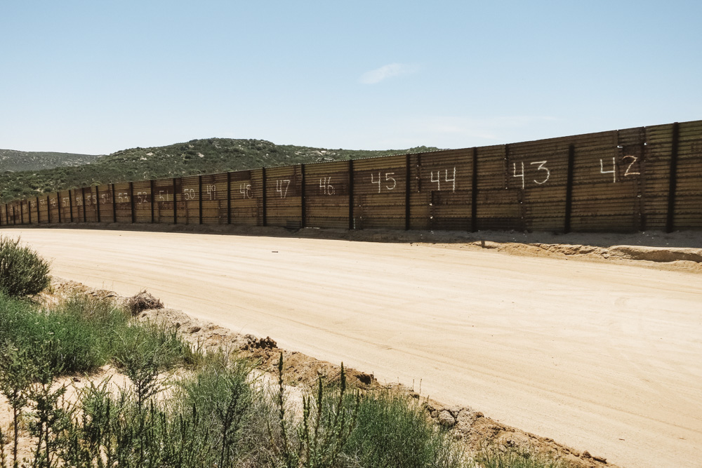
Mile 0. The Mexico border fence near Campo, California.
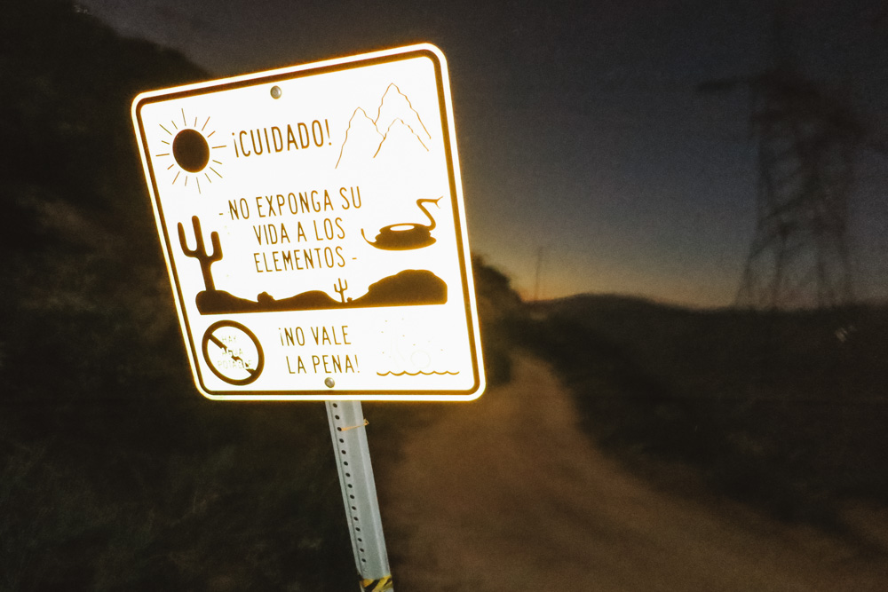
Mile 13. Getting lost the first night, hiking alongside drug runners and rattlesnakes.

Mile 209. After descending 6000 ft in 110 degree heat, I see some other hikers taking a much needed respite under Highway 10 in Cabazon.
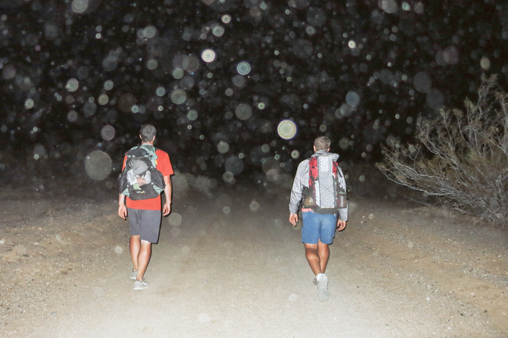
Mile 530. Night hiking through the Mohave Desert to avoid the heat of the day.
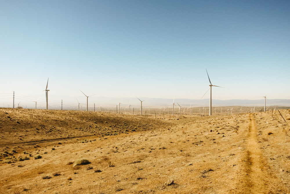
Mile 540. Mohave Desert wind farms.

Mile 565. Shelter from the sun was rare, and often makeshift.
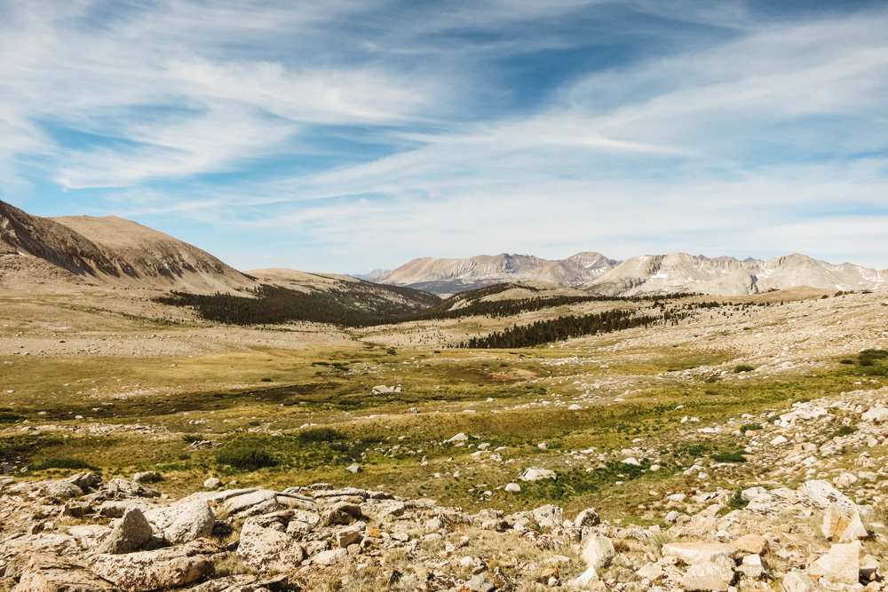
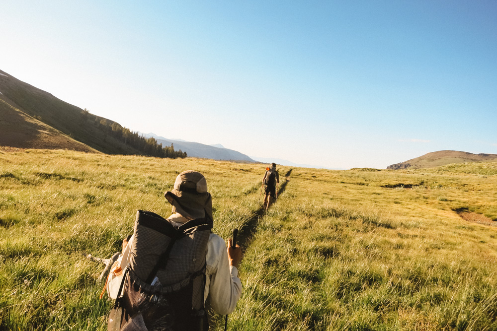
Mile 775. Approaching Forester Pass at 13,200 ft and into King's Canyon.
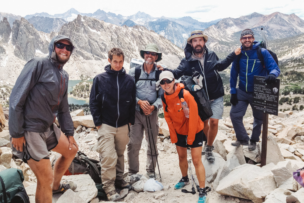
Mile 790. Kearsarge Pass with hiker friends on our way to Independence to resupply.
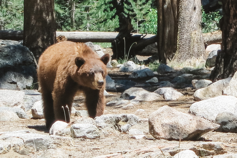
Mile 810. One of several close encounters with bears, this one lasting several minutes.
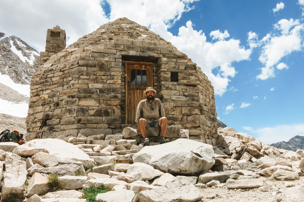
Mile 840. Lunch break at the John Muir Cabin on the top of Muir Pass, about 12,000 ft.
Mile 1075. Hiking towards Lake Tahoe with Marty and Jeff.
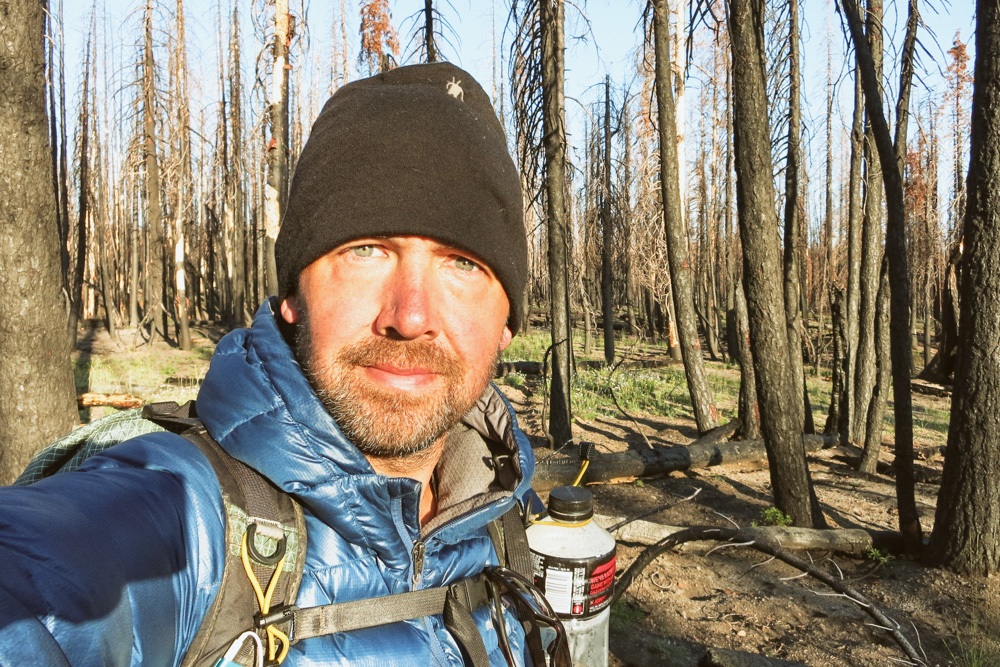
Mile 1363. Burn area in Lassen Vulcanic National Forest in northern California
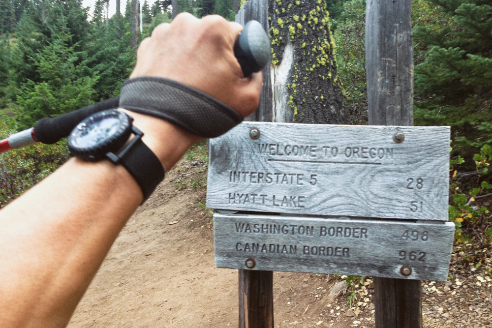
Mile 1700. So happy to be crossing into Oregon.

Mile 1840. Crater Lake, Oregon.
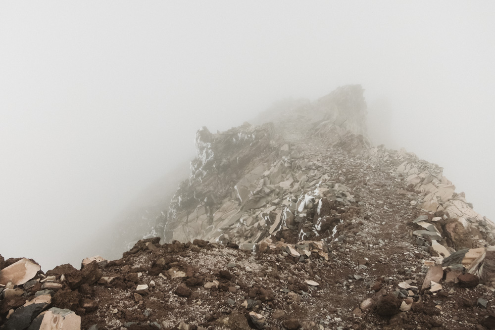
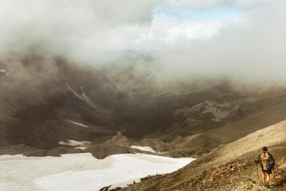
Mile 2284. The "knife edge" on top of Old Snowy Mountain in the Goat Rocks, Washington.
Mile 2286. My favorite section through the Goat Rocks. Photo of me by Diego Panasiti
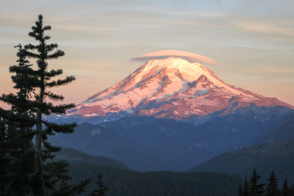
Mile 2321. Sunrise on Mt. Rainier, Washington.

Mile 2425. As the snow storms approach I'm growing concerned about what lies ahead. I turned around just after Snoqualmie Pass, WA.

Mile 2410. The Iron Horse trail from Snoqualmie Pass to Cle Elum, Washington.
Mile 2530. The 200 mile long detour north to Canada.

Mile 2640. Crossing into Canada near Osoyoos, British Columbia.
After early season snow storms forced a road detour for the last 260 miles to Canada, I went back to the trail in the summer of 2014 to hike those missing miles from Snoqualmie Pass, WA to the official Northern Terminus of the PCT near Manning Park, British Columbia.
The PCT through the North Cascades in Washington.

Glacier Peak Wilderness in the North Cascades was some of the most beautiful and challenging terrain of the entire hike.

Mile 2660. Northern Terminus of the Pacific Crest Trail.
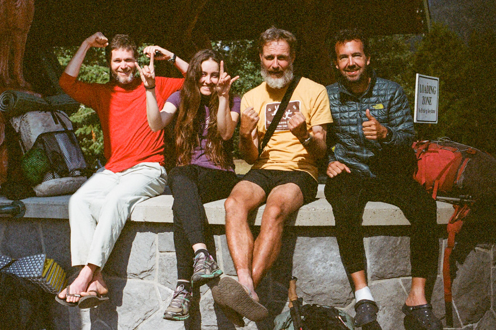
Chip, Recon, Phantom and I at Manning Park, British Columbia.
This video is footage from three key moments of my hike, including a short interview a few miles from Canada.